

VSP CONTACT: Deputy TFL Ben McMinn
Email: BMcMinn@desotocountyms.gov
The Mississippi Urban Search and Rescue Task Force has 40 team members across the state of Mississippi trained in Managing Lost Person Incidents (MLPI) by the National Association of Search and Rescue (NASAR) to aid local search teams with managing lost person incidents.
The Mississippi Urban Search and Rescue Task Force also has over 20 team members across the state of Mississippi trained by the United States Air Force in Inland Search Planning. These members can aid local search teams with land and air searches for missing persons and aircraft, focusing on wilderness, non-urban, searches.
Virtual Search Planning (VSP)
Mississippi Urban Search and Rescue Task Force has over 20 team members across the state of Mississippi trained in Virtual Search Planning (VSP).
This process provides local entities with search planning aid including behavioral analysis, an incident action plan, and search and rescue mapping compiled off-site and delivered by email or fax.
VSP capabilities include but are not limited to:
- Aiding in the Command of Search and Rescue Incidents
- Incident Action Plan Development
- Lost Person Behavior Analysis
- Search Planning
- Search Mapping
Virtual Search Planning (VSP) is a planning process developed by Paul Burke (Nevada Search & Rescue Coordinator) which accounts for:
- Terrain analysis
- Human Behavior Analysis
- Multi-sourced Lost Person Case Statistical Analysis
- Subject physiology
- Subject pharmacology
- Subject’s unique and defining characteristics
- Criminal History
- Weather (both current and historic)
- Cell phone forensics
- Radar forensics (aircraft)
- Robust, verifiable, and reproducible data
- The experience of the Analyst(s)
- The simple and understandable solution for the user
- Packaged and delivered in two hours
With the ability to compile this data and information remotely, the search planning team can provide search planning and aid quickly to local entities anywhere in the state of Mississippi and surrounding region.
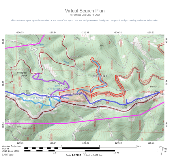
Planners can provide search teams with detailed search maps delivered by email en route to the search.
In addition, the search planning team will prepare a Virtual Search Plan (VSP).
- A Virtual Search plan starts with Facts of the Incident. This includes where and when the subject was last seen and who report reported the subject missing along with information pertaining to the subject.
- Analysis of the Incident. This takes into consideration facts of the incident and the subject’s classification.
- Subject Information. This includes a description and full medical history of the subject
- This information could be used to determine whether there may be potential effects on the behavior or outcome of the subject from the medications the subject is taking.
- Subject Classification. The profile of the subject is matched with a classification from the Koester, Robert J (2008) Lost Person Behavior Guide.
- Statistical Data. Statistical Data based on the subject’s classification is used as a guide in the development of a search area(s).
- Location Information.
- Weather Information. Weather data before and after the subject went missing.
- Vehicle Information.
- Cell phone or Beacon Data – Cell data is analyzed by the Air Force Rescue Coordination Center (AFRCC)
- Followed by Radar Data and Additional Information Request.
- Strategy to Locate the Subject. Search recommendations based on an analysis of the incident.
- Data/Reference Sources
- Maps